
Exporting CSV analysis results
Export profiles, measurements, statistics and histograms as CSV tables, analysis rasters as GeoTIFF or ASCII Grid, and contours as GeoJSON.
You will learn
- Export each kind of result and know its columns.
- Choose GeoTIFF or ASCII Grid for analysis rasters.
- Open the tables in a spreadsheet.
Prerequisites
Data for this tutorial
Nanda Devi massif, SRTM (real terrain) Download nanda-devi-srtm-1arcsec.tif
- Format
- GeoTIFF, 1 band, Int16, Deflate, tiled
- CRS
- EPSG:4326 (WGS 84, longitude/latitude)
- Content
- Elevations 2285 to 7801 m above the EGM96 geoid; lon 79.7276 to 79.9776, lat 30.2279 to 30.4779
- In Orbis3D
- Data panel ▸ Sample data ▸ Nanda Devi massif, SRTM (real terrain) ▸ Load
- Licence
- SRTM 1 arc-second, NASA/USGS, public domain
Synthetic samples are CC0 1.0; the SRTM sample is public domain. About the datasets
The task
You computed a profile, a measurement and slope on Nanda Devi and want the numbers in a spreadsheet and the rasters in a GIS.
Steps
- Compute what you need: a profile (P), a measurement (M), slope or aspect.
- Open the Export tab.
- Under Tables (CSV), click Profile, Measurement, Statistics or Histogram. A button is disabled until its result exists.
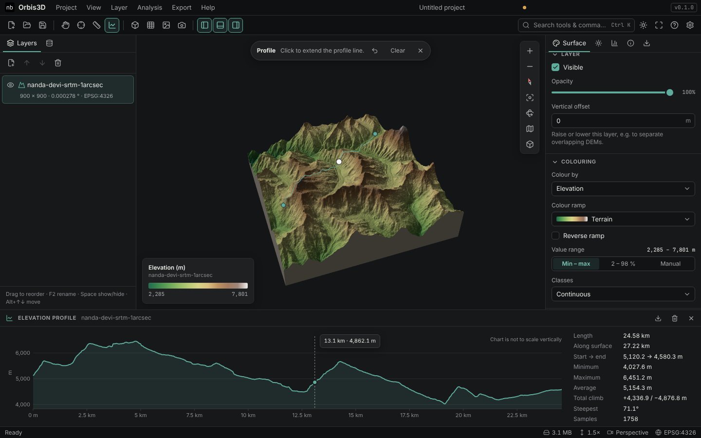
- Under Analysis results, choose GeoTIFF or ASCII Grid as Raster format and click Elevation, Slope, Aspect, Hillshade or Difference. Contours as GeoJSON saves the contour lines.
The tables
| File | Columns |
|---|---|
| Profile | index, distance_m, x_lon or x_m, y_lat or y_m, elevation_m |
| Measurement | vertex, x, y, elevation_m, segment_m, cumulative_m, and a total row with the surface distance |
| Statistics | statistic, value, unit: file facts, elevation statistics, and slope, hillshade, difference and aspect results if computed |
| Histogram | from, to, cells for the 64 classes |
The files are UTF-8, comma-separated, with a header row. Text that starts with =, +, - or @ is prefixed with an apostrophe so spreadsheets do not run it as a formula.
The rasters
- GeoTIFF: Float32 (hillshade: Byte 1–255), uncompressed, with the layer's georeferencing and EPSG code, NoData -9999 (hillshade: 0).
- ASCII Grid: ESRI text grid with NODATA_value -9999.
- Rasters are written at the working grid resolution; the message after export says so when it is reduced from the source.
Expected result
CSV files that open directly in a spreadsheet, and rasters that open in GIS software at the right place.
Common mistakes
- Button disabled. Compute the result first, for the active layer.
- Decimal commas. Some spreadsheets in some languages expect semicolons; choose comma as the separator when importing.