
Supported formats
The elevation, image and project formats Orbis3D opens, with the GeoTIFF compressions and data types, sidecar files, and what is not supported.
You will learn
- Which DEM formats and variants Orbis3D reads.
- Which sidecar files it uses.
- What it cannot open and how to convert it.
Prerequisites
Data for this tutorial
Sample valley, ASCII Grid (synthetic) Download orbis3d-sample-valley-60m.asc Download orbis3d-sample-valley-60m.prj
- Format
- ESRI ASCII Grid (.asc) with .prj
- CRS
- EPSG:32643 (WGS 84 / UTM zone 43N)
- Content
- 240 × 180 cells of 60 m; NODATA_value -9999
- In Orbis3D
- Download it, then open it with Project ▸ Open files
- Licence
- Synthetic, CC0 1.0
Synthetic samples are CC0 1.0; the SRTM sample is public domain. About the datasets
Elevation models
| Format | Extensions | Notes |
|---|---|---|
| GeoTIFF and Cloud Optimized GeoTIFF | .tif, .tiff |
Tiled or striped, any band (choose it in Info ▸ File), overviews used for previews, BigTIFF |
| ESRI ASCII Grid | .asc (+ .prj) |
Corner or centre registration, CELLSIZE or DX/DY, NODATA_value; up to 200 million cells |
| SRTM height files | .hgt, .hgt.gz, .hgt.zip |
1 arc-second (3601 × 3601) or 3 arc-second (1201 × 1201) tiles named like N30E079.hgt |
| ZIP archives | .zip |
Opened and searched for the files above (and Orbis3D project packages) |
GeoTIFF details
- Compression: none, LZW, Deflate, PackBits, JPEG, ZSTD, LERC and WebP. Predictors are supported.
- Data types: 8-, 16- and 32-bit integers, signed or unsigned, and 32- or 64-bit floating point.
- Georeferencing: ModelPixelScale and ModelTiepoint, or a north-up ModelTransformation; PixelIsPoint rasters are shifted by half a cell, as GDAL does; a world file (
.tfw) is used when the TIFF has none. - Coordinate system: from the GeoKeys (EPSG code, units), or from a
.prjfile. - NoData: the
GDAL_NODATAtag.
The test suite reads each of these variants, written by GDAL, and compares the georeferencing and statistics with gdalinfo.
Sidecar files
Drop or select them with the main file; they are matched by base name.
| Sidecar | Used for |
|---|---|
.prj |
Coordinate system (WKT, including ESRI flavour) |
.tfw, .wld, .pgw, .jgw … |
World file: position and cell size |
Images to drape
PNG, JPEG and WebP (with a world file for placement), and RGB or single-band GeoTIFF. See Texture draping.
Projects
Orbis3D project packages (.orbis3d.zip) and project files (.orbis3d.json). See Saving and restoring projects.
Try an ASCII Grid
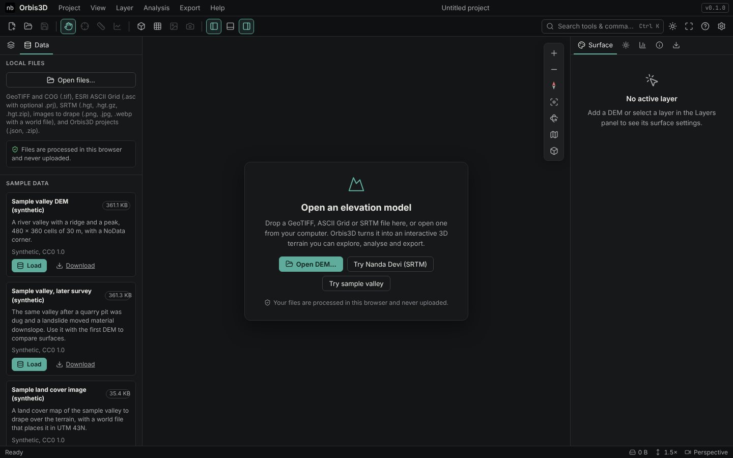
Download the ASCII Grid sample above and its .prj, then drop both files together. The layer opens in EPSG:32643 with 60 m cells. Drop the .asc alone and Orbis3D warns that the coordinate system is unknown.
Not supported
| Not supported | Convert with GDAL |
|---|---|
| JPEG 2000, LZMA or JPEG XL compressed GeoTIFF | gdal_translate in.tif out.tif -co COMPRESS=DEFLATE |
| Rotated or sheared rasters | gdalwarp in.tif out.tif (makes it north-up) |
| Other raster formats (IMG, ERDAS, NetCDF, DTED, LAS point clouds …) | gdal_translate in.img out.tif -of COG |
| Rasters from web addresses | Download the file first, then open it |
Orbis3D does not reproject rasters. To combine DEMs in different coordinate systems, reproject them first, for example gdalwarp -t_srs EPSG:32643 in.tif out.tif.